Log in
All resources
Create a design
6,901 Free Artworks of Atlas Map
atlas van der hagen
maps with cartouches
atlas van der hagen (volume 4)
atlas van der hagen (volume 2)
atlas van der hagen (volume 3)
atlas van der hagen (volume 1)
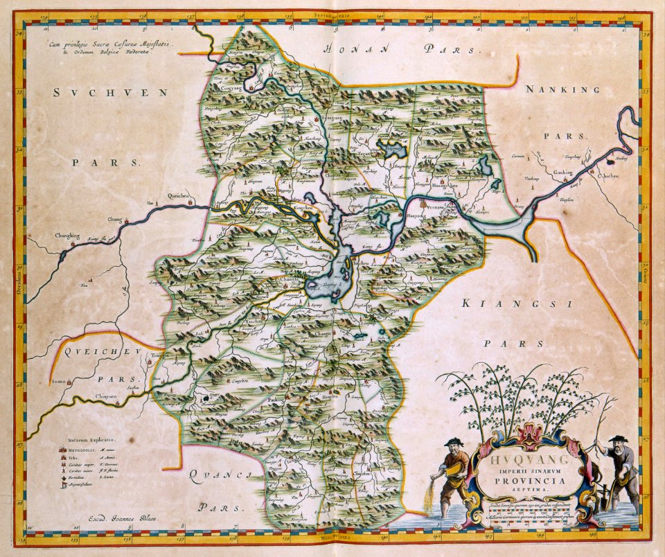
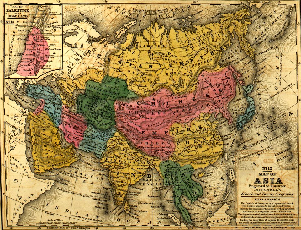
17th-century maps of china
atlas de wit 1698
1662 maps
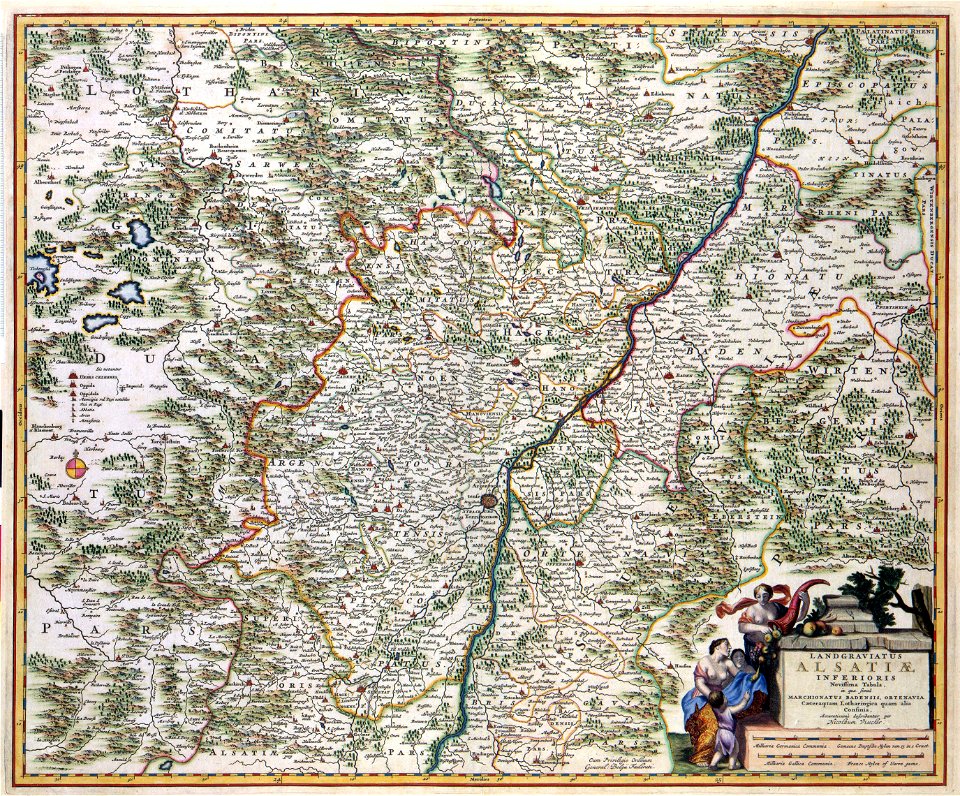
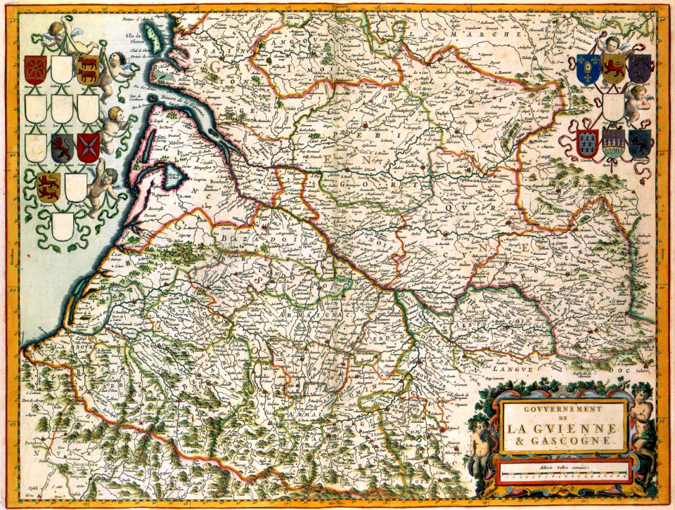
17th-century maps of france
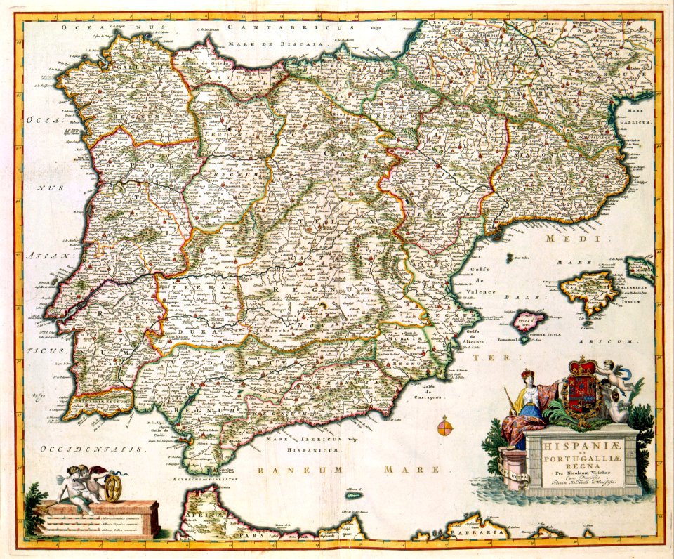
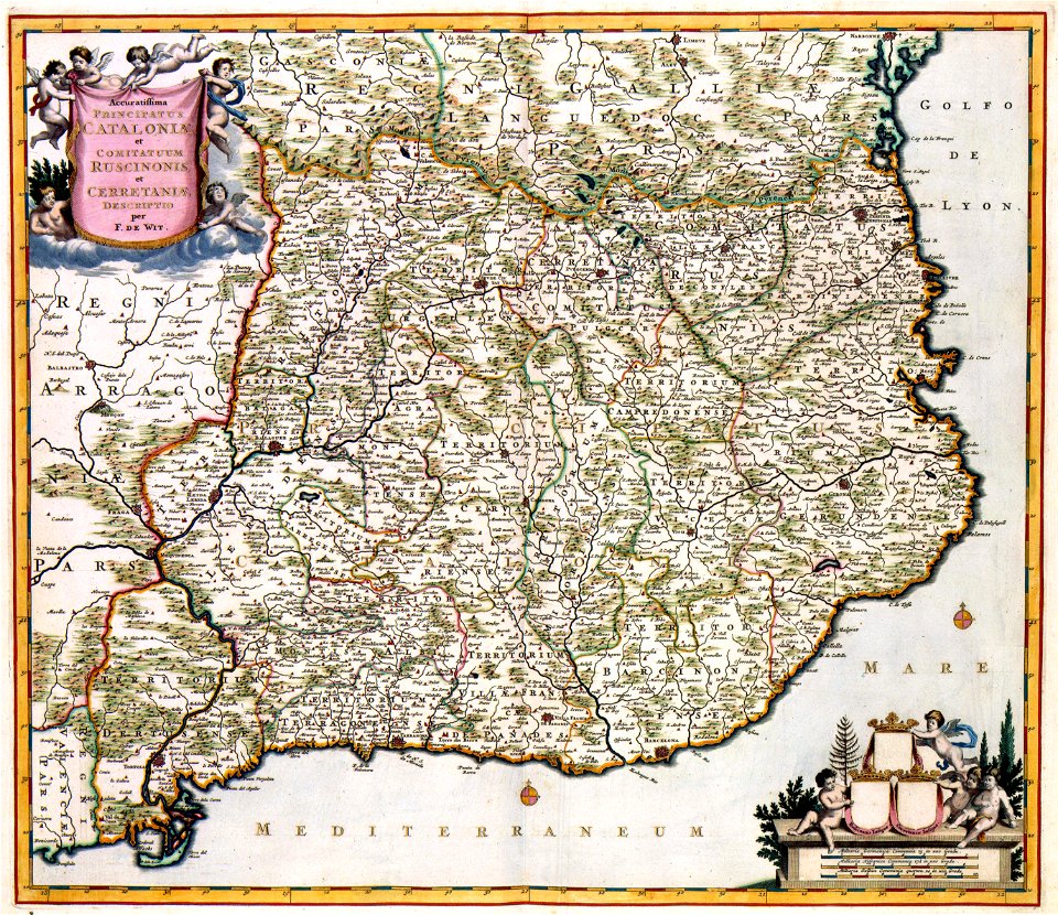
old maps of the iberian peninsula
nicolaes visscher ii
maps with cartouches
joan blaeu
maps with cartouches
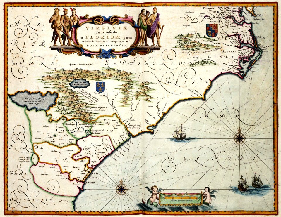
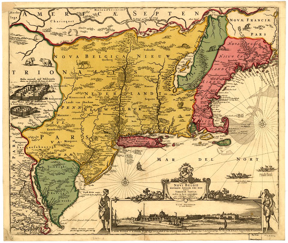
maps of virginia
maps with cartouches
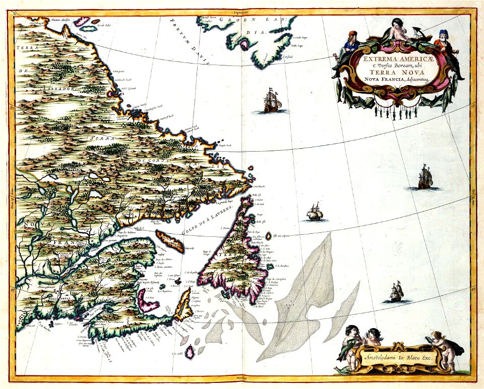
old maps of canada
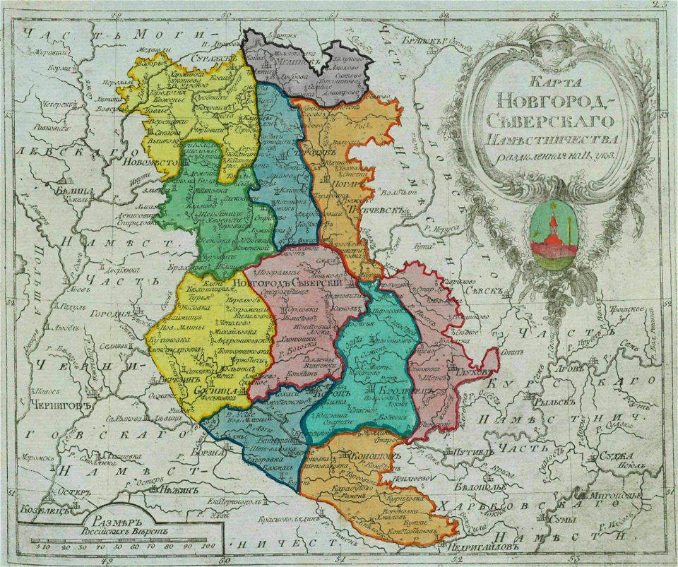
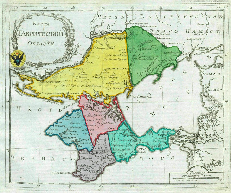
atlas of the russian empire (1800)
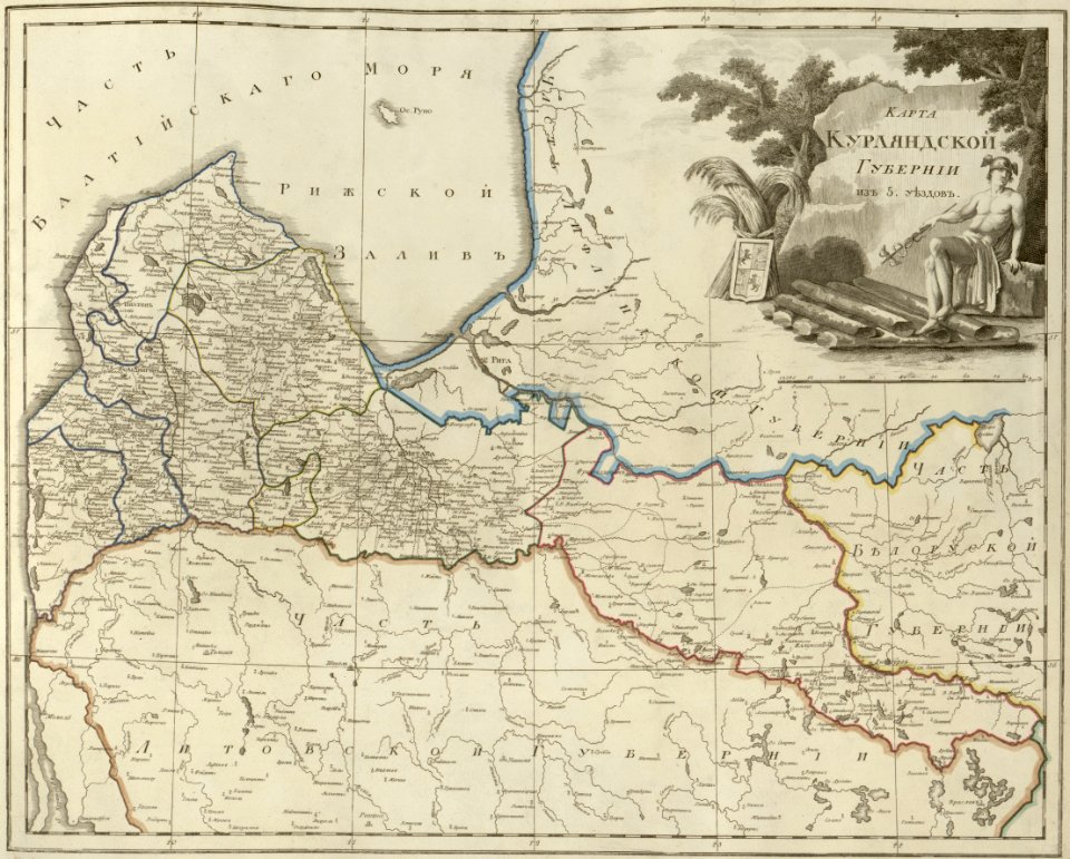
old maps of courland governorate
small atlas of the russian empire (1796)
kharkov viceroyalty
maps with cartouches
atlas van der hagen
atlas van der hagen (volume 4)
maps with cartouches
atlas van der hagen (volume 4)
maps with cartouches
maps with cartouches
atlas van der hagen
17th-century maps of france
maps with cartouches
maps with cartouches
atlas van der hagen
maps with cartouches
atlas van der hagen
old maps of governorates of the russian empire
small atlas of the russian empire (1792)
small atlas of the russian empire (1796)
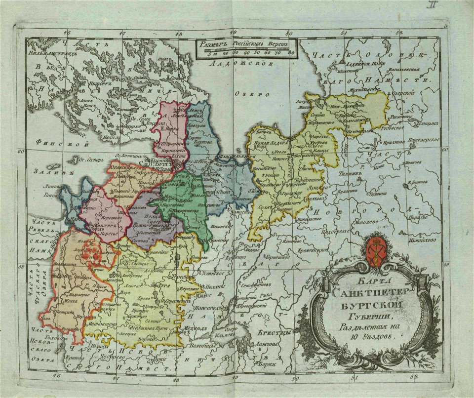
old maps of saint petersburg governorate
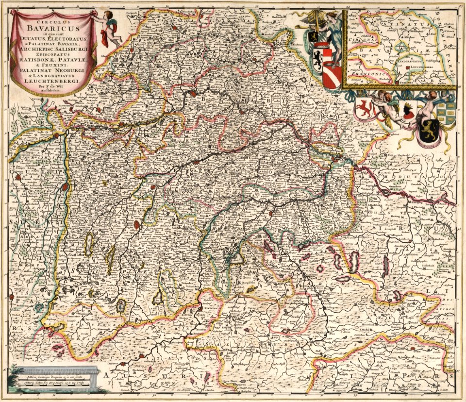
maps by frederick de wit
maps with cartouches
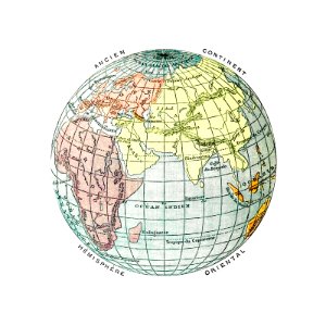
earth
maps
maps with cartouches
atlas van der hagen
maps with cartouches
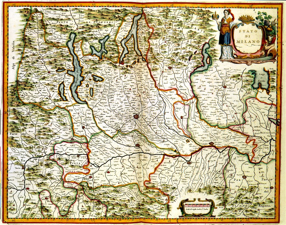
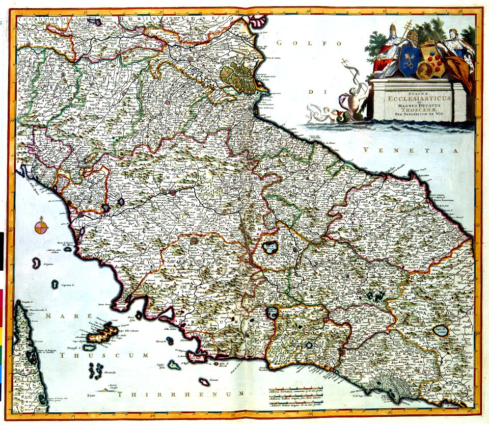
old maps of milan
maps with cartouches
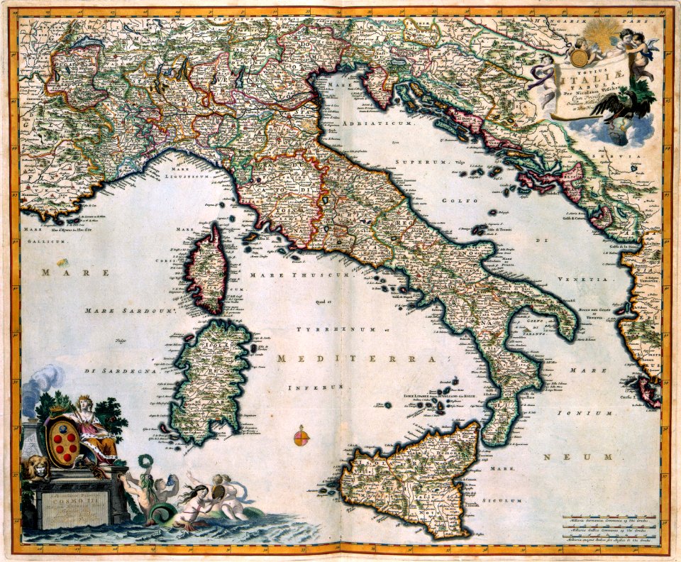
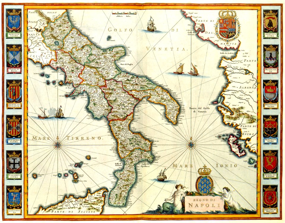
old maps of italy
old maps of mongolia
maps with cartouches
maps with cartouches
atlas van der hagen
atlas van der hagen (volume 4)
maps with cartouches
maps with cartouches
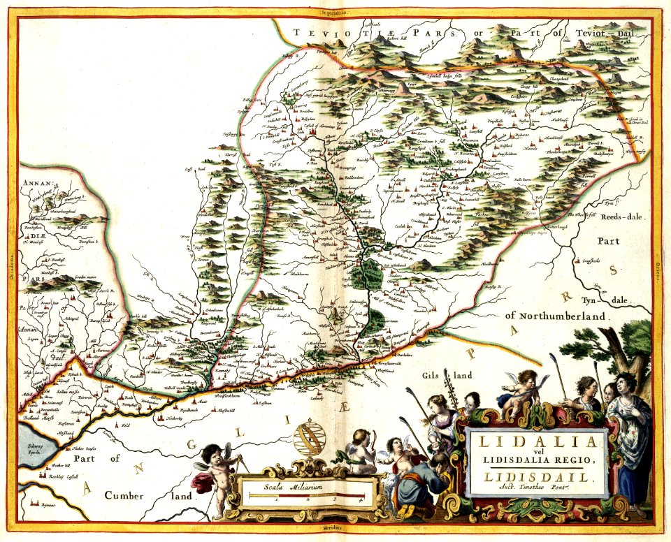
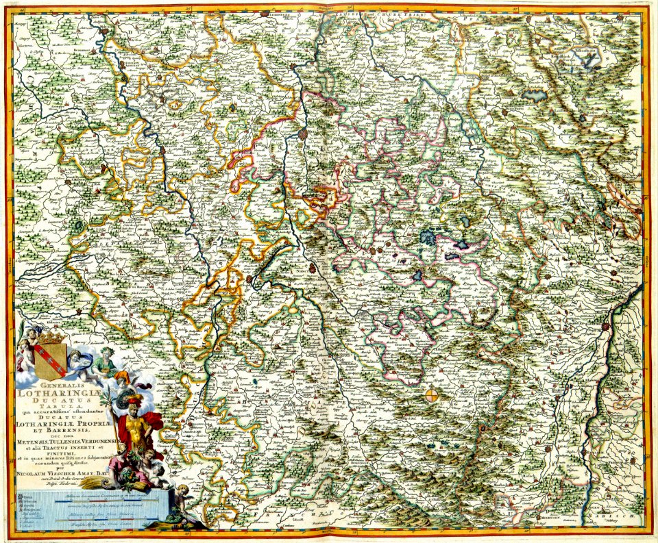
old maps of toul
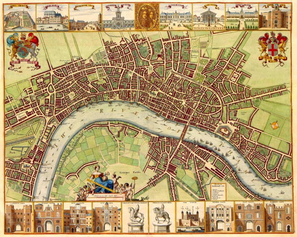
coats of arms on maps
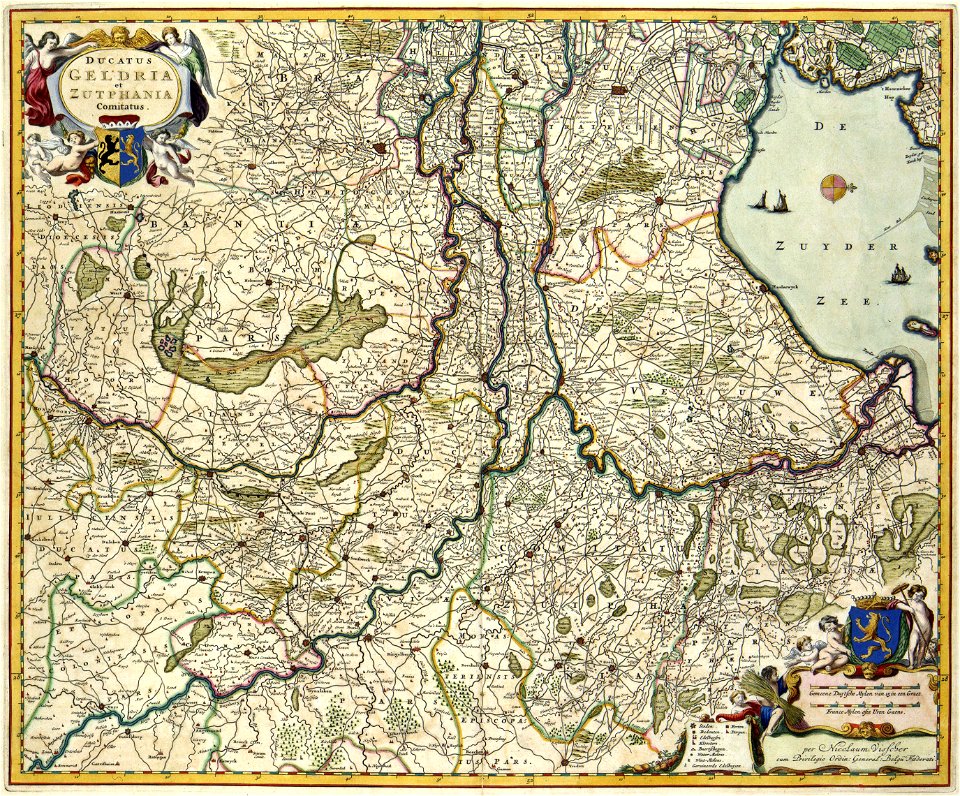
guelder
maps with cartouches
atlas van der hagen
copper engraving
beavers in art
david rumsey historical map collection
maps by frederick de wit
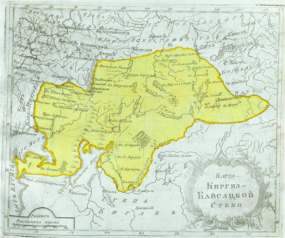
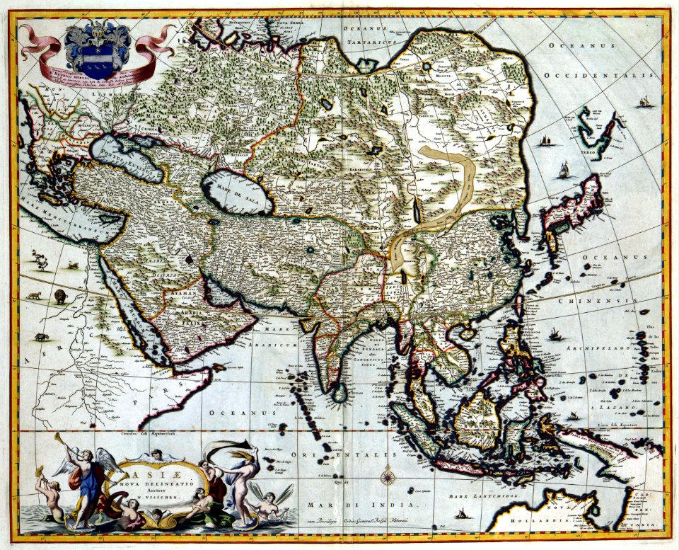
maps of central asia
maps of kazakhstan
maps with cartouches
atlas van der hagen
maps with cartouches
atlas van der hagen
small atlas of the russian empire (1792)
maps of irkutsk governorate
compass roses on maps
1547 maps of europe
17th-century fortress plans
coats of arms on maps
old maps of france
maps of reims
atlas van der hagen (volume 4)
maps with cartouches
old maps of oblasts of the russian empire
small atlas of the russian empire (1792)
maps with cartouches
atlas van der hagen
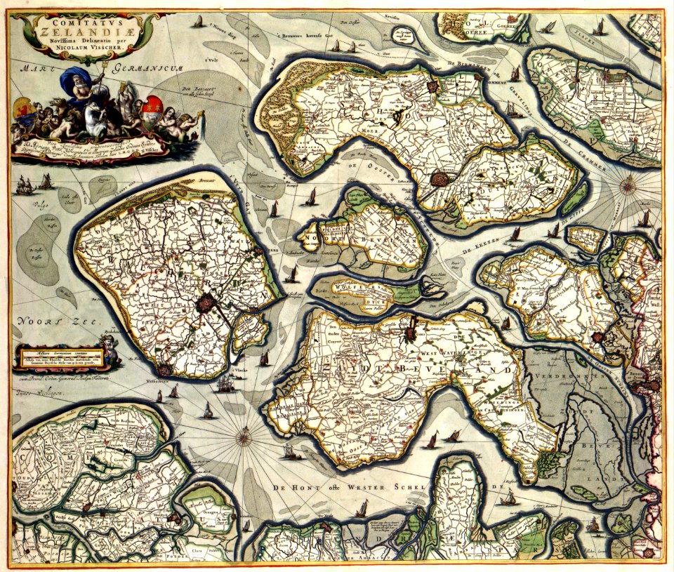
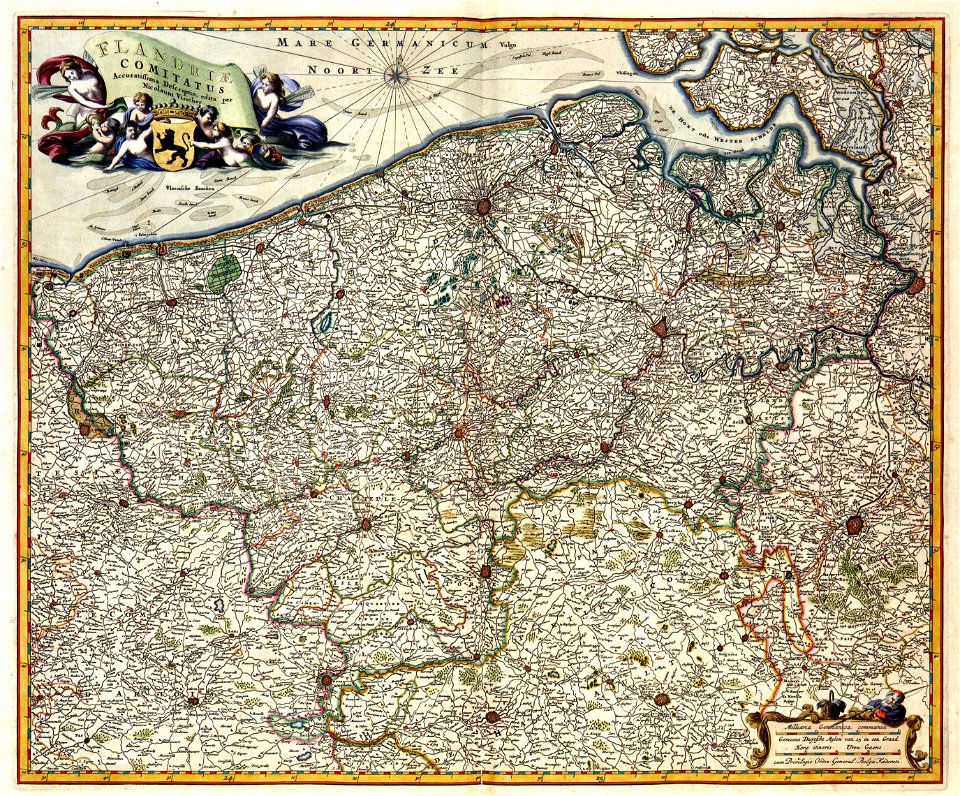
old maps of zeeland
walcheren
maps with cartouches
netherlands
atlas van der hagen (volume 3)
maps with cartouches
maps by willem and johannes blaeu
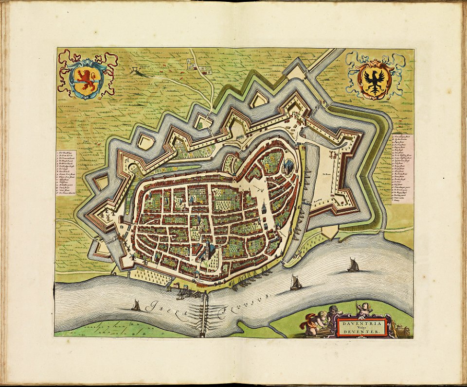
wijnhaven, the hague
maps with cartouches
atlas van der hagen
maps with cartouches
atlas van der hagen
maps with cartouches
old maps of zeeland
maps with cartouches
atlas van der hagen
maps with cartouches
atlas van der hagen
atlas van der hagen (volume 4)
maps with cartouches
maps with cartouches
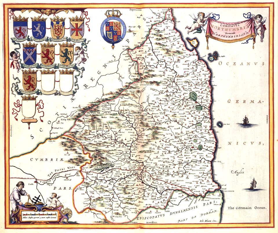
old maps of hesse
maps with cartouches
atlas van der hagen
maps with cartouches
atlas van der hagen
maps with cartouches
atlas van der hagen
atlas van der hagen (volume 4)
maps with cartouches
atlas van der hagen
1662 maps
maps with cartouches
old maps of crete
maps with cartouches
old maps of italy
atlas van der hagen (volume 4)
maps with cartouches
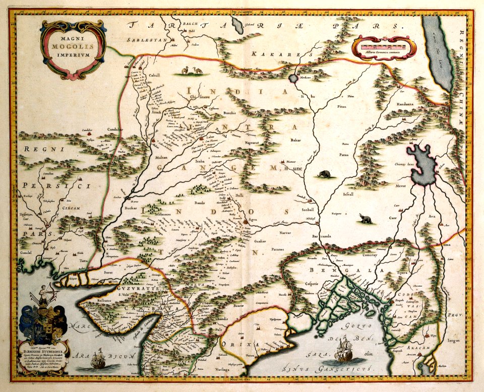
old maps of india
qinghai lake
atlas van der hagen (volume 4)
maps with cartouches
atlas van der hagen (volume 4)
maps with cartouches
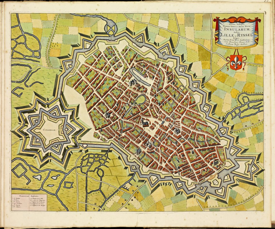
maps of lille city walls
atlas de wit 1698
old maps of india
qinghai lake
maps with cartouches
atlas van der hagen
maps with cartouches
atlas van der hagen
maps with cartouches
atlas van der hagen
atlas van der hagen
old maps of france
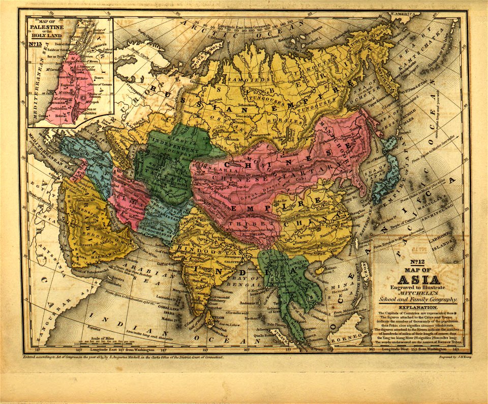
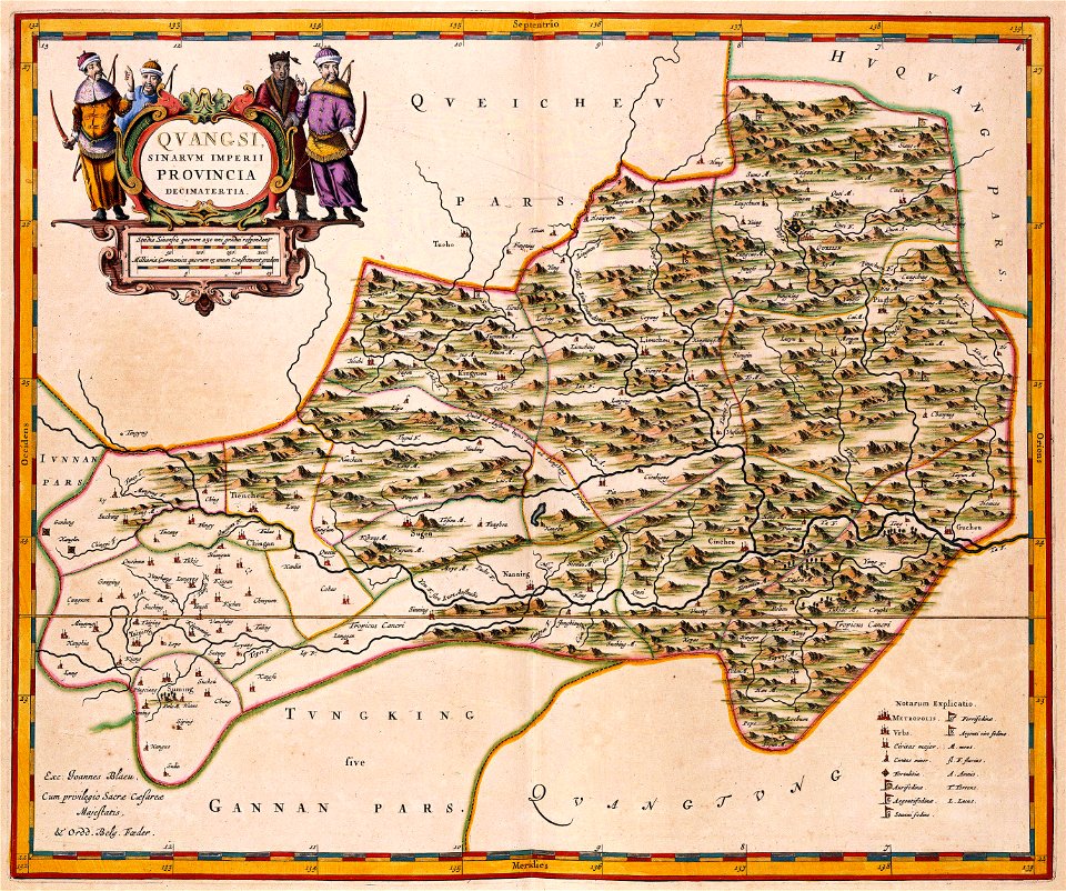
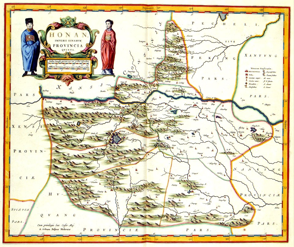
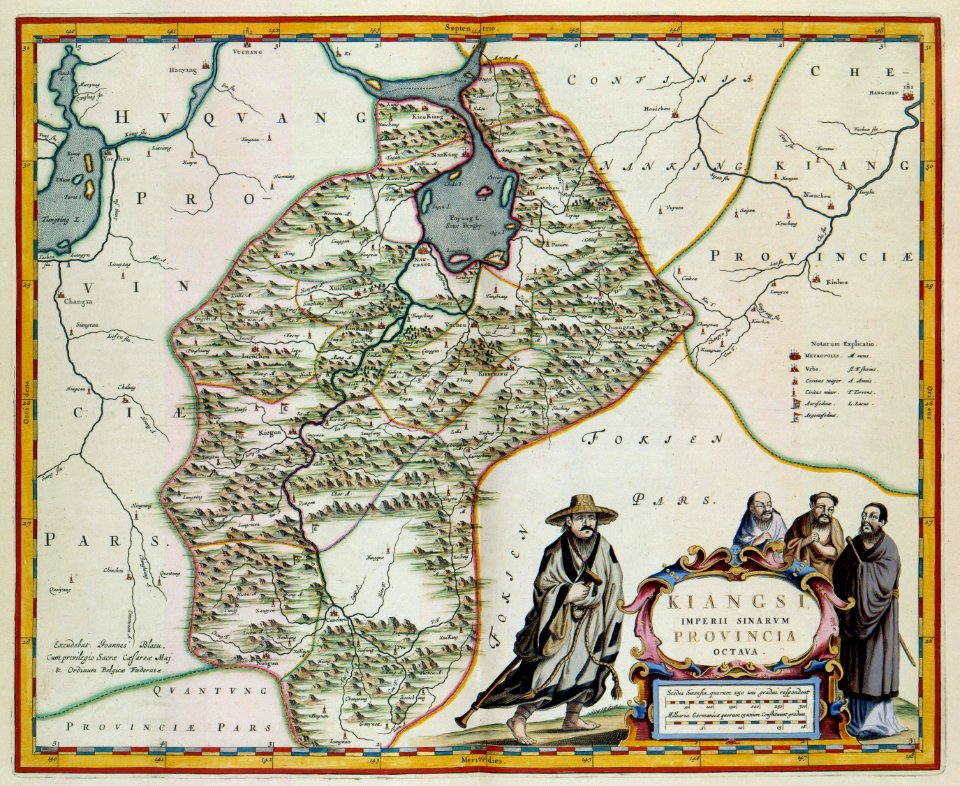
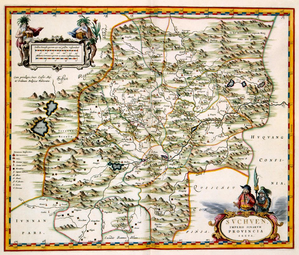
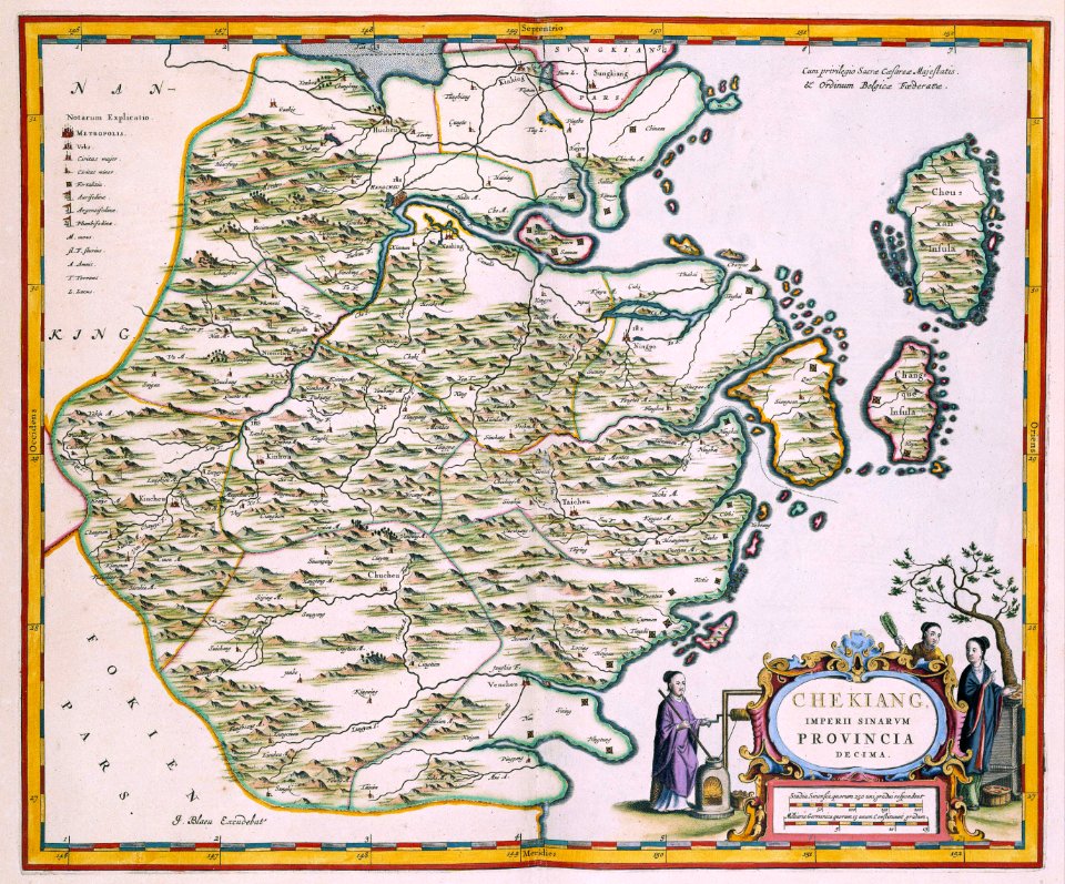
17th-century maps of china
maps with cartouches
maps with cartouches
atlas van der hagen
maps with cartouches
atlas van der hagen
17th-century maps of china
maps with cartouches
17th-century maps of china
maps with cartouches
17th-century maps of china
maps with cartouches
maps with cartouches
atlas van der hagen
maps with cartouches
atlas van der hagen
17th-century maps of france
maps with cartouches
maps with cartouches
copper engraving
maps with cartouches
atlas van der hagen
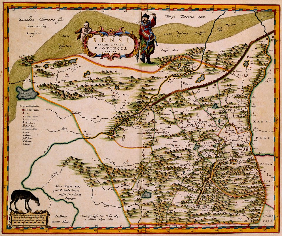
17th-century maps of china
maps with cartouches
17th-century maps of china
maps with cartouches
17th-century maps of china
maps with cartouches
maps with cartouches
atlas van der hagen
maps with cartouches
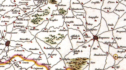
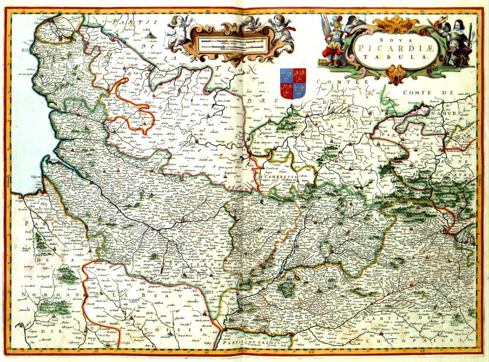
history of picardie
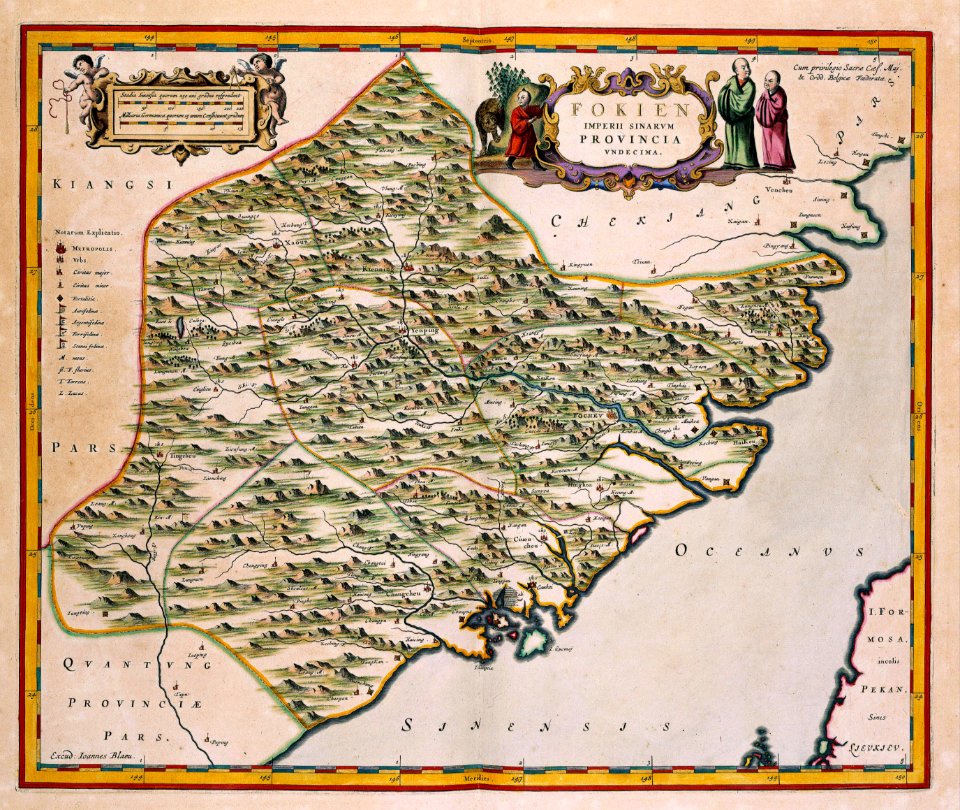
17th-century maps of china
maps with cartouches
17th-century maps of china
maps with cartouches
maps with cartouches
old maps of morocco
17th-century maps of france
maps with cartouches
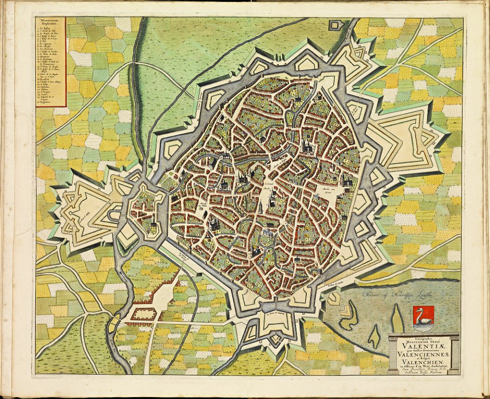
maps of valenciennes city walls
atlas de wit 1698
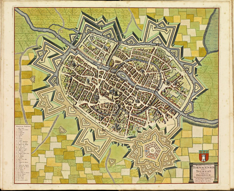
maps of tournai city walls
old maps of tournai
maps of hesdin city walls
old maps of hesdin
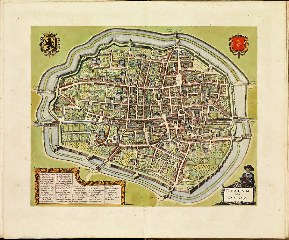
maps of douai city walls
atlas de wit 1698
maps of veurne city walls
atlas de wit 1698
travel
maps
old maps of india
qinghai lake
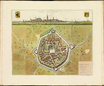
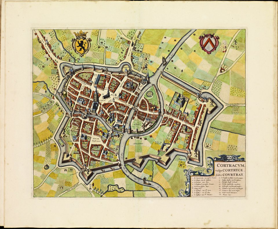
old maps of kortrijk
atlas de wit 1698
atlas van der hagen
old maps of france
copper engraving
ships on maps
old maps of lower saxony
maps with cartouches
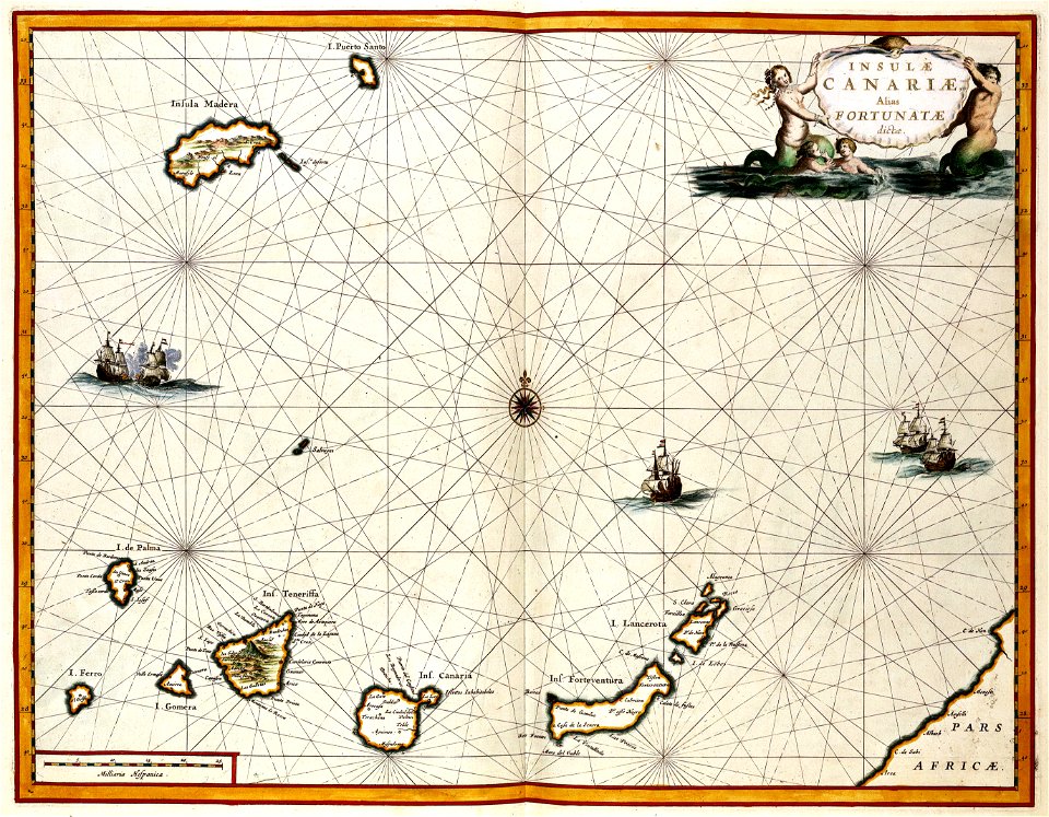
old maps of the canary islands
1667
maps with cartouches
atlas van der hagen
maps with cartouches
old maps of china
201 - 300 of 6,901
Next page
/ 70